Axedale's township layout goes back to a town plan of 1856, and council's 2009 structure plan records that "Raglan Street and the Raglan Hotel were named after Lord Raglan". Bendigo Tree Removal removes, prunes and grinds out trees in the township and on the farms and bush blocks around it, from the McIvor Highway down to the Campaspe River.
Most of the locality's people live outside the town itself. Council's Managed Growth Strategy puts it this way: "In 2021, around 340 people were living in Axedale with 630 people living in the surrounding area." Virtually every home is a separate house, on anything from a township lot to a farm.
Axedale's heritage trees
Axedale has 18 places in the Heritage Overlay, and the overlay schedule applies tree controls at four of them. Where those controls apply, removing or lopping the listed trees needs a planning permit from council, so ask council before any work is booked. The four places:
- St Mary's Roman Catholic Church. Tree controls cover its "palm trees". The heritage statement says "The tall palms form an avenue from the pedestrian gate", and that the site "is aesthetically significant for the large number of palm trees".
- The Marydale farm complex. Controls cover the "home-stead garden and elm trees". The heritage statement singles out "a long tree lined avenue of red gums and elms" along the driveway.
- A c1920 house and its Canary Island palm. The palm itself is under tree controls, and the heritage statement names the "mature Canary Island Palm" as significant along with the house.
- The former Quarry Hotel. Controls cover the "mature conifer and palm tree". The hotel was built "around 1874" by Napthali Ingham, "who opened a bluestone quarry on what became known as Ingham Hill".
Trees along the Campaspe River
By our calculation from the Victorian Government's planning map data, about 790 hectares of Axedale, roughly 7%, is in ESO1, the waterway protection overlay. Council's 2009 structure plan says "The floodplains of the Campaspe River and its tributary Native Gully Creek and Hargreaves Creek have been zoned ESO1". Its vegetation assessment recorded River Red Gums on the lower ground by Native Gully Creek.
Two small pockets by the river, about 15 hectares in all, also carry SLO2, the Significant Landscape Overlay for the Campaspe River Valley environs. Its rule is direct: "A permit is required to remove, destroy or lop native vegetation." Its statement says the river at Axedale "is in moderate to poor condition overall because of extensive clearing of native streamside vegetation and infestation by introduced weeds, in particular willows."
So a river block may have one overlay, both or neither. Before a tree near the water comes down, get your VicPlan report and ask council what applies to it.
Old trees on township blocks
In 2009, council's structure plan found most township lots left natural, with remnant box-ironbark forest and some very old mature trees, including Yellow Box, Grey Box and Yellow Gum. Today the township's design overlay, DDO9, aims "To maintain the character of Axedale as a village in a bushland setting", with a minimum lot size of 1,500 square metres.
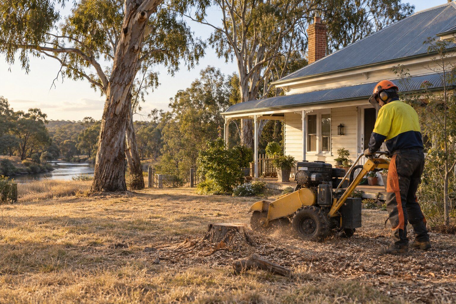
A big box or gum close to a house on a lot that size usually comes down in sections, and the stump can be ground out afterwards; see stump grinding.
The October 2022 flood, and no flood overlay
The Campaspe flooded in October 2022. The Bureau of Meteorology's Special Climate Statement 77, published in September 2023, reports a record catchment average October rainfall of 215 mm, and "the wettest 2-day period on record (since 1900) for the Campaspe catchment". Council's growth strategy says "the McIvor Highway was badly damaged by the flooding affecting access between Bendigo, Axedale and Heathcote." A Premier's media release of 16 February 2023 said emergency repairs had reopened the highway at the Axedale bridge a week after the flood.
Even so, by our calculation no flood overlay (Land Subject to Inundation, Floodway or Special Building Overlay) is mapped anywhere in Axedale. Council's June 2024 submission to a federal inquiry explains that past flood studies "have been focused on the largest population centres, namely Bendigo and Heathcote".
If a tree on a river flat is leaning or has dropped limbs after high water, keep clear of it and see storm damage and fallen trees.
Bush blocks, bushfire rules and the Big Trees
By our calculation, all of Axedale is a designated bushfire prone area and about a third of it is in the Bushfire Management Overlay. About 465 hectares of the Mount Sugarloaf Nature Conservation Reserve lies inside the locality, and about 7% of Axedale is in VPO2, which requires a permit to remove, destroy or lop native vegetation.
Because the whole locality is bushfire prone, a home here built or approved before 10 September 2009 can use the Clause 52.12 exemption to remove or lop trees within 10 metres of it without a planning permit. Beyond 10 metres, the exemptions cover only vegetation other than trees, except along an eligible boundary fence, where up to 4 metres combined can be cleared.
The National Trust's Register of Significant Trees lists two red ironbarks near Wellsford Road, in Wellsford State Forest in the north-west of the locality. Each is "one of ten Big Trees" there. Classified in June 2023 as regionally significant, they are 18 and 20 metres tall.
What we do in Axedale
- Tree removal: whole trees taken down in sections, with the stump ground and the site cleaned up.
- Tree lopping and pruning: branches cut back off roofs, gutters and fences, to a proper branch point.
- Stump grinding: stumps ground below the surface so the spot can be levelled or replanted.
- Storm damage and fallen trees: trees and limbs down across a roof, fence or driveway.
Before a tree comes down in Axedale
Whether a tree needs a permit depends on the property, not just the suburb: the overlays on your block, the native vegetation rules and whether it's a council tree. Check your planning property report on VicPlan, or ask the City of Greater Bendigo. Our guide to tree removal permits in Bendigo sets out each rule.
Nearby suburbs
Common questions
Do I need a permit to remove or lop the heritage palms and elms in Axedale?
Yes, where the Heritage Overlay applies tree controls. In Axedale that is four places: St Mary's Roman Catholic Church, the Marydale farm complex, a c1920 house with a Canary Island palm, and the former Quarry Hotel. The other 14 heritage places have no tree controls.
Do I need a permit to remove a tree near the Campaspe River?
Possibly. Much of the river corridor is in ESO1, and two small areas are also in SLO2, which requires a permit to remove, destroy or lop native vegetation. Check your VicPlan report and ask the City of Greater Bendigo before the tree is cut.
Axedale has no flood overlay. Does that mean my block won't flood?
No. By our calculation no flood overlay is mapped in Axedale, but the Campaspe River flooded in October 2022, and council has said its past flood studies focused on Bendigo and Heathcote. An empty flood map is not the same as no flood risk.
Can I clear trees near my Axedale house for fire safety?
All of Axedale is bushfire prone, so if your home was built or approved before 10 September 2009 you can remove or lop trees within 10 metres of it without a planning permit. Past 10 metres, the exemptions don't cover trees, apart from a strip of up to 4 metres combined along an eligible boundary fence. For a newer home, check with council first.
Where this information comes from
The local details on this page come from these published pages, checked on 29 September 2026.
- Greater Bendigo Planning Scheme: Schedule to the Heritage Overlay · Planning scheme, tree controls by heritage place
- Victorian Heritage Database: St Mary's Catholic Church, Axedale (HO58) · Heritage statement, updated 24 September 2023
- Victorian Heritage Database: Marydale farm complex, Axedale (HO738) · Heritage statement, updated 21 January 2024
- Victorian Heritage Database: House and Canary Island Palm, Axedale (HO731) · Heritage statement, updated 25 April 2024
- Victorian Heritage Database: Quarry Hotel (former), Axedale (HO737) · Heritage statement
- Greater Bendigo Planning Scheme: Schedule 1 to the Environmental Significance Overlay · Planning scheme
- Greater Bendigo Planning Scheme: Schedule 2 to the Significant Landscape Overlay (SLO2) · Planning scheme, permit requirement dated 18/12/2020
- Greater Bendigo Planning Scheme: Schedule 2 to the Vegetation Protection Overlay (VPO2) · Planning scheme, permit requirement dated 11/01/2024
- Greater Bendigo Planning Scheme: Schedule 9 to the Design and Development Overlay (DDO9) · Planning scheme
- Greater Bendigo Planning Scheme: Clause 52.12 Bushfire protection exemptions · Planning scheme
- Vicmap open data: planning overlays, bushfire prone area, parks and reserves · Victorian Government map data, used for our area calculations
- ABS: 2021 Census QuickStats, Axedale · Housing and household figures
- City of Greater Bendigo: Axedale Township Structure Plan · Council structure plan, March 2009
- City of Greater Bendigo: Managed Growth Strategy · Council growth strategy, October 2024 edition
- Bureau of Meteorology: Special Climate Statement 77 · Climate statement on the 2022 floods, 21 September 2023
- Premier of Victoria: Repairs underway on McIvor Highway following floods · Victorian Government media release, 16 February 2023
- City of Greater Bendigo: submission to the House of Representatives Economics Committee · Council submission on the 2022 floods, 26 June 2024
- National Trust Register of Significant Trees: Red Ironbark, Wellsford Rd Axedale · Register entry, classified 20 June 2023
- National Trust Register of Significant Trees: Red Ironbark, Wellsford Rd Axedale (second tree) · Register entry, classified 20 June 2023