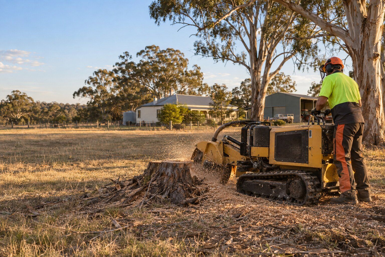
Council's Marong Township Structure Plan says the town is expected to grow over the next 25 years, "ultimately accommodating approximately 8,000 people in a compact satellite township". Bendigo Tree Removal removes trees, lops limbs and grinds stumps across Marong, from township yards to farm blocks, and we ask whose rules apply before a tree comes down; council has the final word.
At the 2021 Census Marong had 2,005 people, a median age of 31 and 63.3% of homes owned with a mortgage. It also sits across two councils. By our calculation, the western part of the locality, about a third of its area, is in Loddon Shire, where Loddon's own planning scheme applies rather than Greater Bendigo's. Properties west of the township, towards Yorkshire Road, may fall under Loddon Shire rules.
River red gums and Bullock Creek
The structure plan says "The large river red gums that line Bullock Creek create an iconic entrance to the town, as well as the palm trees on Adams and High Streets which mark the town centre." It also warns that "Areas surrounding the creek are subject to severe flooding."
Amendment C263gben, gazetted on 29 May 2025, introduced "the Floodway Overlay and the Land Subject to Inundation Overlay" in Marong. By our calculation, the floodway schedule (FO1) covers about 2.2% of the locality and the inundation schedule (LSIO1) about 1.3%. Neither controls vegetation. The waterway protection schedule of the Environmental Significance Overlay (ESO1), which follows Bullock Creek and its tributaries, covers about 4.4%; if your block is in it, ask council before any tree work.
The structure plan also records that "Bullock and Fletchers Creeks are significant areas of Aboriginal cultural heritage." Where a stump sits close to either creek, we'd want that question answered before a grinder touches the ground. See stump grinding.
Marong's heritage palms and figs
As the Heritage Overlay schedule stood after the May 2025 amendment, three Marong places carry tree controls, so removing or lopping the listed trees needs a permit unless an exemption applies:
- Adams Street Palms (HO938), in the Adams Street road reserve: a "Row of 6 alternating Canary Island Palms and Mexican Fan Palms".
- Former Shire of Marong Hall (HO559), on Adams Street: its "Palm trees".
- Park View (HO562): "Moreton Bay fig trees, monkey puzzle trees, other conifers".
Tree rules for new houses in Marong
The same amendment added design rules for Marong's new residential areas, DDO31 and DDO32. They apply to planning applications for new buildings and works there, not to existing homes as a general duty. DDO32 says "Development should protect existing mature trees where possible", and DDO31 also asks new development to protect existing mature trees in the front setback.
Design and Development Overlay Schedule 32 sets the standard: within the required bushfire separation distances, and unless the relevant fire authority agrees otherwise in writing, the vegetation has to be managed so that:
- Nothing touches the house: "Trees must not overhang or touch any elements of a building."
- Canopies are spaced: canopy trees at least 5 metres apart, or at least 2 metres apart on a lot entirely outside the Bushfire Management Overlay.
- Branches are lifted: "at least 2 metres between the lowest tree branches and ground level".
Farm blocks, bushfire and powerlines
Most of Marong is farmland: by our calculation, about 87% of the locality is in a Farming Zone across the two councils, and about 636 hectares of Bendigo Regional Park lies inside it. Effectively all of the locality is a designated bushfire prone area, about two-thirds under Greater Bendigo's plan and a third under Loddon's, while the Bushfire Management Overlay covers about 21%.
Native vegetation overlays are patchy here: by our calculation, VPO2 covers about 3% of the locality, mostly farmland, with small areas of VPO1 and VPO3. In the Greater Bendigo part, the Clause 52.17 native vegetation rules apply as well.
On a rural block, check where the powerlines run before any tree work. Powercor says "Only workers authorised by CitiPower and Powercor can trim trees within the No Go Zone." Marong also has its own VICSES unit, on Cathcart Street. For a tree or limb already down across a roof, fence or driveway, see storm damage and fallen trees.
What we do in Marong
- Tree removal: whole trees taken down in sections, with the stump ground and the site cleaned up.
- Tree lopping and pruning: branches cut back off roofs, gutters and fences, to a proper branch point.
- Stump grinding: stumps ground below the surface so the spot can be levelled or replanted.
- Storm damage and fallen trees: trees and limbs down across a roof, fence or driveway.
Before a tree comes down in Marong
Whether a tree needs a permit depends on the property, not just the suburb: the overlays on your block, the native vegetation rules and whether it's a council tree. Check your planning property report on VicPlan, or ask the City of Greater Bendigo. Our guide to tree removal permits in Bendigo sets out each rule.
Nearby suburbs
Common questions
Is my Marong property under Greater Bendigo or Loddon Shire?
Almost all Marong addresses are in Greater Bendigo: by our count, 1,078 of 1,103 primary addresses. But the western part of the locality, about a third of its area, is in Loddon Shire, where Loddon's planning scheme applies. Your VicPlan planning property report names the council and planning scheme for your address.
Do the flood overlays stop me removing a tree near Bullock Creek?
The Floodway and Land Subject to Inundation overlays added in May 2025 don't control vegetation. But parts of the creek corridor are in the ESO1 waterway protection overlay, and the native vegetation rules still apply, so check your VicPlan report or ask the City of Greater Bendigo before a creek-side tree is cut.
I'm building a new house in Marong. What do the tree rules require?
In the DDO31 and DDO32 areas, a planning application for new buildings has to meet bushfire vegetation standards unless the fire authority agrees otherwise in writing: no trees overhanging or touching the building, canopies 5 metres apart (2 metres on a lot entirely outside the BMO), and 2 metres of clearance under the lowest branches. Council can confirm what applies to your lot.
Who trims trees near the powerlines on my rural block?
Powercor says only workers it authorises can trim trees within the No Go Zone around its lines. For a tree on your own property near the service line to your house, Energy Safe Victoria says keeping it clear is your responsibility. Don't cut near the line yourself; use a contractor qualified to work near service lines, or ask Powercor first. Tell us about any lines near the tree when you ask for a quote.
Where this information comes from
The local details on this page come from these published pages, checked on 29 September 2026.
- City of Greater Bendigo: Marong Township Structure Plan · Council page and plan, adopted 24 June 2024
- City of Greater Bendigo: Marong Township Structure Plan 2024 (PDF) · Structure plan text
- City of Greater Bendigo: Amendment C263gben (Marong) · Council page, amendment gazetted 29 May 2025
- Vicmap open data: localities, planning zones and overlays, bushfire prone area, parks and addresses · Victorian Government map data, used for our area calculations and address count
- Greater Bendigo Planning Scheme: Schedule to the Heritage Overlay · Planning scheme, tree controls by heritage place, updated 29/05/2025
- Greater Bendigo Planning Scheme: Schedule 32 to the Design and Development Overlay (DDO32) · Planning scheme, Marong residential areas
- Greater Bendigo Planning Scheme: Schedule 31 to the Design and Development Overlay (DDO31) · Planning scheme, Marong low density residential
- Greater Bendigo Planning Scheme: Schedule 1 to the Floodway Overlay (FO1) · Planning scheme, dated 29/05/2025
- Greater Bendigo Planning Scheme: Schedule 1 to the Environmental Significance Overlay (ESO1) · Planning scheme
- Greater Bendigo Planning Scheme: Clause 52.17 Native vegetation · Planning scheme
- CitiPower and Powercor: Vegetation management · Distributor guidance on trees near powerlines
- Energy Safe Victoria: Trees and vegetation FAQ · Regulator guidance on service lines
- VICSES: City of Greater Bendigo · VICSES units in Greater Bendigo, including Marong
- ABS: 2021 Census QuickStats, Marong · Population, housing and household figures