
A Special Building Overlay for the Bendigo Creek Levee Management Area covers about 15% of Epsom, by our calculation from state planning map data. Bendigo Tree Removal handles tree removal, pruning and stump grinding in Epsom, from the newer estates to the semi-rural blocks, and we plan every job around wet ground and the creek-side rules.
In 2021 Epsom's median age was 32, and nearly half its homes were owned with a mortgage. The land use is mixed: general residential streets sit beside farming land, low-density lots, industrial zones and a large service and utility zone.
Flood overlays across Epsom's housing land
By our calculation, flood overlays reach about 39% of Epsom's residential-zoned land: about 22% is under the Land Subject to Inundation Overlay and about 17% under the levee area's Special Building Overlay, with some land counted in both. Across the whole suburb, the inundation overlay's two schedules cover roughly a third of Epsom.
These overlays control buildings and works rather than trees, so they don't add a tree permit on their own. They do shape the job. After rain, we check the ground before bringing machinery onto a block, and plan where a chipper, stump grinder or elevated work platform can stand without damaging the yard.
Council's Managed Growth Strategy cites the 2013 Bendigo Urban Flood Study, which estimated that 30,000 properties were at risk of flooding, and adds: "Areas that are particularly vulnerable include parts of Kangaroo Flat, central Bendigo, Epsom and Huntly." Council's Epsom Huntly Waterways Study, still in progress, covers Bendigo Creek, Racecourse Creek and Back Creek, and refers to the October 2022 and January 2024 floods.
Roads that flood, and creek-side trees
The VICSES Epsom, Huntly and Ascot Local Flood Guide lists Howard Street, the Midland Highway and Racecourse Road among Epsom roads likely to flood, and its cover photo shows Bendigo Creek at Howard Street. If floodwater or a storm has brought a tree or limb down, keep well away from anything in contact with a powerline and call Powercor. The first steps are on our storm damage and fallen trees page.
Land beside Epsom's creeks may sit in the Environmental Significance Overlay for waterway protection, which sets its own permit rules. By our calculation about 87 hectares of the suburb is in it, following the creek corridors. Check your planning property report before a creek-side tree is cut.
Away from the creek, one Epsom heritage place has tree controls: the palms at the Palms – Epsom listing on the Midland Highway. Removing or lopping them needs a planning permit.
Newer estates beside older blocks
About 18 hectares of Epsom is in the Jackass Flat New Development Area, by our calculation, and the planning scheme lists a Jackass Flat Vegetation Precinct Plan dated September 2009. If your home is on land covered by a development or vegetation plan, ask council how that plan treats existing trees before one comes out.
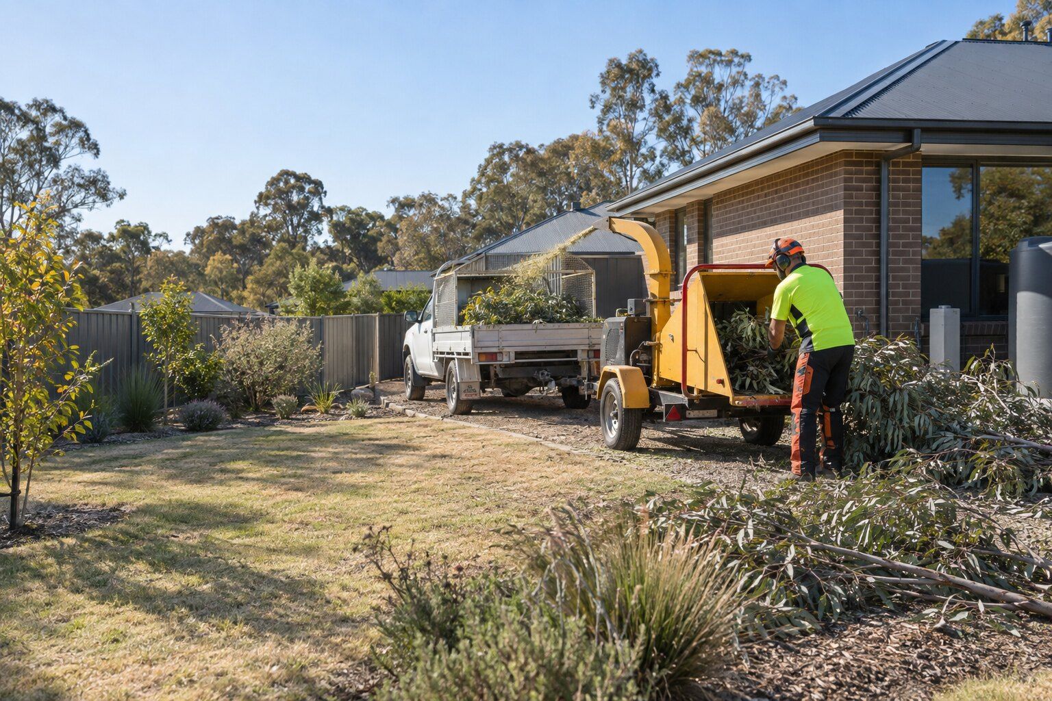
On a newer block, the job might be a eucalypt that has outgrown a narrow side yard, branches hanging over a new fence, or a stump left from the build. We chip the branches on site, cut the trunk into manageable lengths and grind the stump out, then clean up. You can keep the chips for garden beds or have them taken away.
Bushfire rules apply here too, but less of Epsom's housing is in the Bushfire Management Overlay: about 13% of its residential land, by our calculation, although about 74% of the suburb is designated bushfire prone. Check both on VicPlan before relying on a bushfire exemption.
What we do in Epsom
- Tree removal: whole trees taken down in sections, with the stump ground and the site cleaned up.
- Tree lopping and pruning: branches cut back off roofs, gutters and fences, to a proper branch point.
- Stump grinding: stumps ground below the surface so the spot can be levelled or replanted.
- Storm damage and fallen trees: trees and limbs down across a roof, fence or driveway.
Before a tree comes down in Epsom
Whether a tree needs a permit depends on the property, not just the suburb: the overlays on your block, the native vegetation rules and whether it's a council tree. Check your planning property report on VicPlan, or ask the City of Greater Bendigo. Our guide to tree removal permits in Bendigo sets out each rule.
Nearby suburbs
- Tree removal in Eaglehawk
- Tree removal in Ascot
- Tree removal in Huntly
- Tree removal in White Hills
- Tree removal in Bendigo
Common questions
Do Epsom's flood overlays control tree removal?
Not by itself. The inundation and levee-area overlays control buildings and works, not trees. Other rules can still apply, including the waterway protection overlay along the creeks, the state's native vegetation rules and council's control of street trees. Check your VicPlan planning property report.
Which Epsom roads does VICSES list as likely to flood?
Its local flood guide for Epsom, Huntly and Ascot lists Howard Street, the Midland Highway and Racecourse Road. Check VICSES warnings before you drive through water after heavy rain.
Can you leave the wood chips from my tree?
Yes. We chip branches on site, and you can keep the chips or have them taken away. Greater Bendigo bans burning garden waste all year. Tell us which you'd prefer when you request a quote.
Is my Epsom home in a bushfire prone area?
About 74% of Epsom is, by our calculation, so many homes there may qualify for the Clause 52.12 exemptions if they were built or approved before 10 September 2009. The Bushfire Management Overlay covers far less of Epsom's housing. Look up your address on VicPlan to be sure.
Where this information comes from
The local details on this page come from these published pages, checked on 29 September 2026.
- Greater Bendigo Planning Scheme: Schedule 2 to the Special Building Overlay (Bendigo Creek Levee Management Area) · Planning scheme
- Greater Bendigo Planning Scheme: Clause 44.04 Land Subject to Inundation Overlay · Planning scheme
- Greater Bendigo Planning Scheme: Schedule 1 to the Environmental Significance Overlay · Planning scheme, waterway protection
- Greater Bendigo Planning Scheme: Schedule 21 to the Development Plan Overlay (Jackass Flat) · Planning scheme
- Greater Bendigo Planning Scheme: Schedule to Clause 52.16 (native vegetation precinct plans) · Planning scheme, dated 25/09/2014
- Greater Bendigo Planning Scheme: Schedule to the Heritage Overlay · Planning scheme, tree controls by heritage place
- Greater Bendigo Planning Scheme: Clause 52.12 Bushfire protection exemptions · Planning scheme
- City of Greater Bendigo: Managed Growth Strategy · Council strategy, October 2024
- City of Greater Bendigo (Let's Talk): Epsom Huntly Waterways Study · Council study page, in progress
- VICSES: Epsom, Huntly and Ascot Local Flood Guide · Emergency service flood guide, content reviewed December 2025
- City of Greater Bendigo: fires, burn-offs and permits · Council rules on burning garden waste
- Vicmap open data: planning overlays and zones, and bushfire prone area · Victorian Government map data, used for our area calculations
- ABS: 2021 Census QuickStats, Epsom (Vic.) · Housing and household figures